PLACES
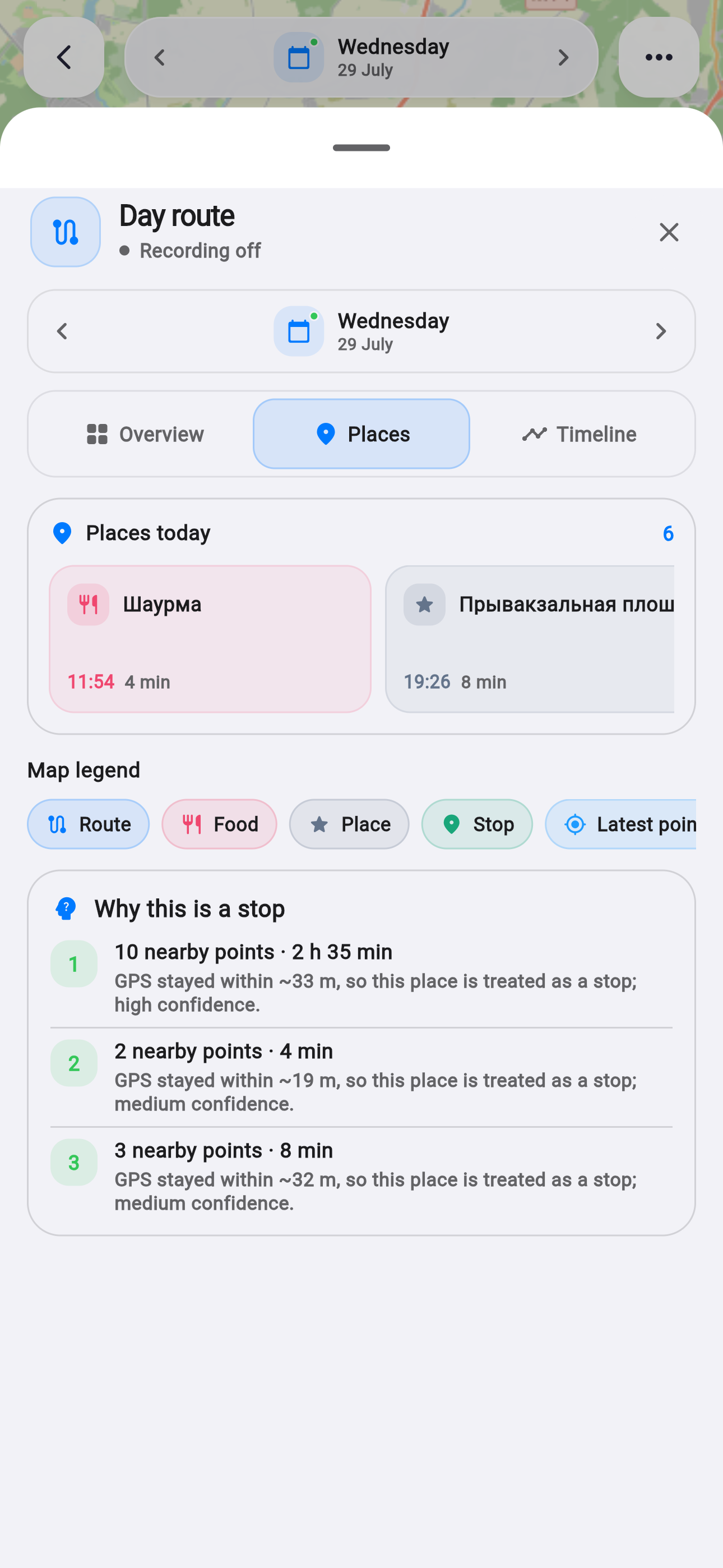
Apple Maps for places and the day route.
A day map should feel at home on the device. Release 1.2.2 adds Apple Maps across iOS and web while preserving one language for stops and routes on every platform.
Facts and scope come from real product changes, with their impact explained in plain language.
A native map on iPhone
On iOS the route uses Apple MapKit: current position, path and place markers share the system mapping stack. Location permission is checked before the user position can appear.
The camera fits actual route points. If data is absent or the map is still loading, the screen shows a deliberate state instead of an unexplained empty area.
The same workflow on the web
A dedicated JavaScript bridge connects the browser build to Apple Maps. Flutter passes points, colors and symbols while keeping familiar place categories.
Native, browser and stub implementations are separated. An unsupported platform therefore avoids an unnecessary dependency and can use a safe fallback.
Search repeats less work
Search and reverse-geocoding results use caches with appropriate lifetimes. Coordinates and labels are validated before display, and network requests have a clear timeout.
When Apple Maps takes too long, the app offers a readable retry message. The cache is capped at 80 keys so a speed improvement never becomes uncontrolled accumulation.
Native map
MapKit on iPhone with a familiar surface.
Shared route
The same places and symbols in the browser.
Faster search
Cache, coordinate validation and timeout.
First run now teaches through one real example.
Four short steps follow a spoken phrase into a confirmed entry and explain where information is kept.